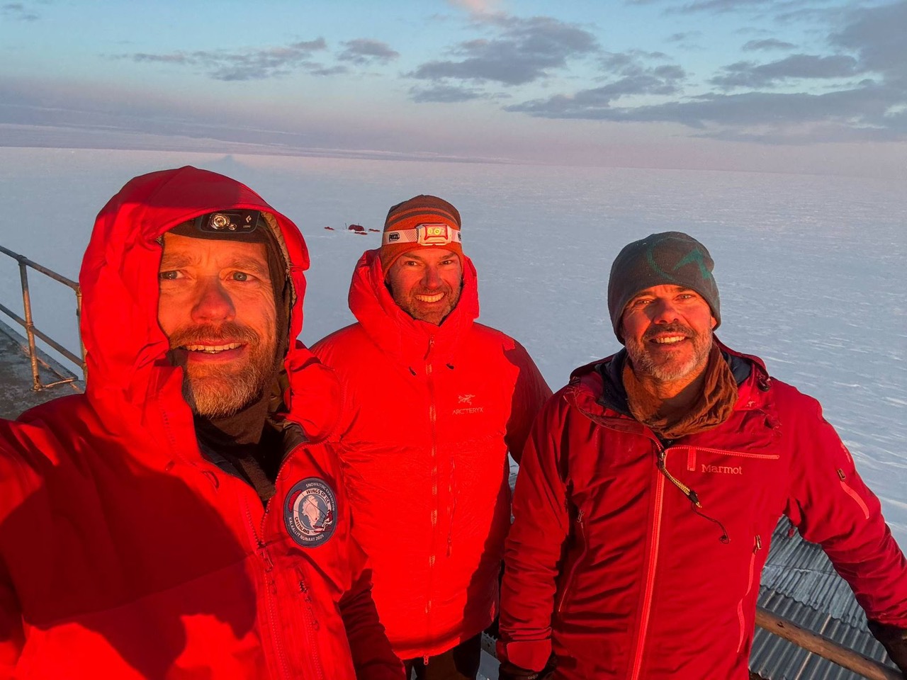
Last month, Icelanders Hoddi Tryggvason and Halldor Meyer completed a 4,200km circular snowkiting journey on Greenland’s ice sheet. The 50-day expedition began and finished near Tasiilaq on Greenland’s southeastern coast.
Beginning on May 10, the pair was initially accompanied by Danish adventurer Bjorn Lindhardt Wils as they traveled clockwise, passing the historic Cold War radar stations DYE 3 and DYE 2 on their way to Greenland’s west coast.
Early struggles and injury
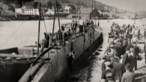
In the early stages of the all-Scandinavian team’s journey, they contended with poor visibility and heavy snowfall. But the situation worsened when Wils injured himself while kiting, an all-too-common risk in the sport due to the high speeds and unpredictable winds. “Something went terribly wrong with his kite when he was launching it in really strong winds,” said Tryggvason.

Wils was evacuated by helicopter due to his injuries. Photo: Hoddi Tryggvason
“He was catapulted several meters up in the air, came crashing down, and hurt himself quite badly,” Tryggvason continued. “He still tried to keep on kiting until it was just pointless.”
All three had previous snowkiting experience on Greenland, having kited 1,800km together from DYE 2 to Qaanaaq in 2022. Tryggvason has also kited from near the South Pole to Hercules Inlet, and Wils kited 2,400km from Narsaq to Qaanaaq in 2016.
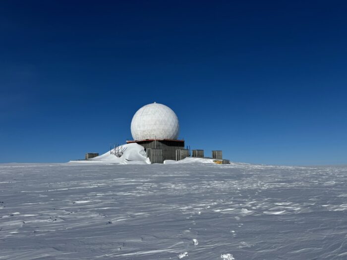
The abandoned DYE 2 radar station. Photo: Hoddi Tryggvason
Previous kiting expeditions
Most kiting teams in Greenland travel a linear route from north to south, from Kangerlussuaq to Qaanaaq.“We wanted to do something a bit more challenging…something that not many people do,” said Tryggvason.

Tryggvason’s GPS track. Map: Hoddi Tryggvason
Few teams choose longer journeys. However, 2014 saw multiple teams undertake circular snowkiting expeditions around the interior of Greenland. The longest was the “Wings Over Greenland II” expedition by Michael Charavin and Cornelius Strohm. They covered 5,067km in 58 days, completing a loop around the ice cap from Narsaq in the far south.
At the same time, Dixie Dansercoer and Eric McNair-Landry completed a 4,045km loop from Tasiilaq in 56 days. A third team, “Trineo de Viento,” used a large wooden wind-powered sled to travel 4,300km in 49 days, starting and ending in Kangerlussuaq.
Reaching the north coast
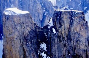
After Wils was evacuated by helicopter, Halldor and Tryggvason pressed on toward Greenland’s remote north coast, reaching 82˚N near Independence Fiord in Peary Land on June 9. Tryggvason, in particular, was keen to visit this region, which is steeped in exploration history, and rarely visited even by modern Arctic travelers.
Peary Land was named after the infamous American explorer Robert E. Peary, who mapped much of northern Greenland and controversially claimed to reach the North Pole in 1909. His maps included a major error, though: the Peary Channel, a nonexistent waterway thought to separate Peary Land from the mainland.

Peary Land. Photo: www.grida.no/resources/1827
In 1907, the Denmark Expedition set out to chart Greenland’s northeast coast and investigate this supposed channel. Tragically, the Danish team became trapped in the remote interior, and three members perished.
The myth of the Peary Channel was finally put to rest in 1912, when Knud Rasmussen’s First Thule Expedition confirmed Peary Land was a peninsula, not an island, leading to the correction of all future maps.
The home stretch
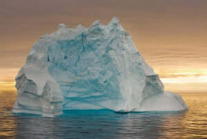
The final leg of the journey, heading south along Greenland’s eastern edge, brought good weather and favorable winds. For over two weeks, the team pushed through long daily kiting sessions, gradually closing the loop on their 4,200km route.
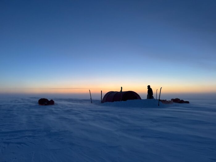
Photo: Hoddi Tryggvason
The two Icelanders completed the full circuit near Isortoq on the southeast coast, where a boat eventually picked them up. But the adventure didn’t end quietly. The final day demanded 16 hours of manhauling through the rapidly melting, slushy lower slopes of the Ice Sheet, a thorny reminder of the Arctic’s continually shifting conditions.